


The Colombian Attorney General’s Office and FZS Colombia have launched an AI-powered satellite monitoring tool to combat deforestation in the Amazon. This system detects illegal activities, enabling faster responses. Focused on key regions like Chiribiquete and La Macarena, it enhances conservation efforts and supports policy-making to protect vital ecosystems.
Advanced Satellite Monitoring to Combat Deforestation in the Colombian Amazon
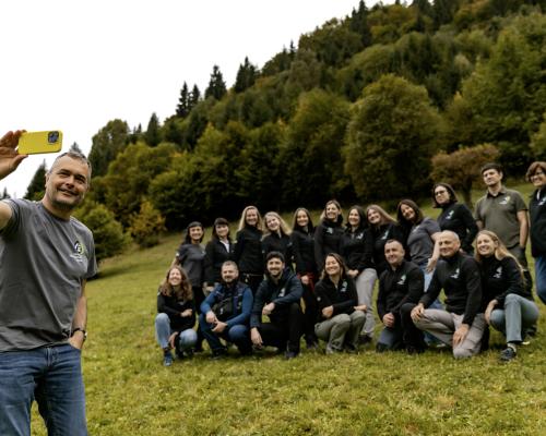
The Colombian Attorney General’s Office, in collaboration with the Frankfurt Zoological Society (FZS) Colombia, has launched a tool for satellite monitoring of deforestation. This initiative harnesses high-resolution satellite imagery and artificial intelligence (AI) to detect and track deforestation activities, marking a significant advancement in environmental protection efforts.
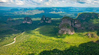
The monitoring system initially focuses on critical regions of the Amazon, particularly the areas surrounding Chiribiquete National Natural Park in the southeast, La Macarena National Natural Park in the center-south, and the Nukak National Natural Reserve in the southeast of the Colombian Amazon. These regions are vital not only for their rich biodiversity but also for their role in maintaining global climate stability.
Chiribiquete National Park, the largest tropical rainforest national park in the world, acts as a massive carbon sink, absorbing vast amounts of carbon dioxide. La Macarena serves as a crucial ecological corridor, connecting the Amazon with the Andes, which helps regulate climate patterns. The Nukak Reserve is home to extensive rainforest cover, essential for maintaining local and regional rainfall cycles and preventing further climate imbalance.

The new AI-powered tool, trained on over 200 satellite images provided by FZS, addresses a major gap in current deforestation data. Traditionally, official environmental reports have faced delays of three to seven months, limiting the ability to respond swiftly to environmental crimes. This tool drastically reduces that lag, allowing authorities to access near-real-time data and make faster, more informed decisions.
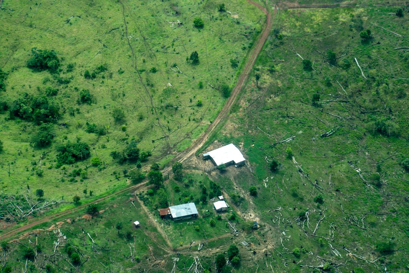
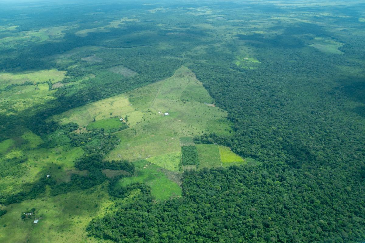
The Colombian Amazon faces a variety of environmental threats, each contributing to its alarming rate of deforestation. Key drivers include extensive cattle ranching, the expansion of illicit crops, land grabbing, and the construction of illegal roads. The latter has seen a particularly sharp rise around Chiribiquete National Park and the Nukak Reserve, where unauthorized infrastructure has proliferated over the past three years. Meanwhile, deforestation linked to cattle ranching continues to escalate in Sierra de la Macarena National Natural Park, exacerbating habitat destruction.
The Attorney General’s Office emphasizes that this tool will be instrumental in analyzing deforestation patterns and trends, empowering authorities to act swiftly against environmental offenders. The collaboration with FZS also supports broader policy efforts by generating reliable data for the formulation and implementation of public strategies aimed at curbing deforestation and tackling illegal gold mining.
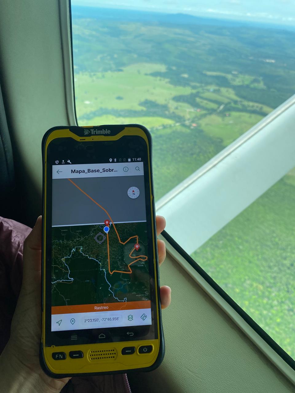
In addition to satellite monitoring, FZS will conduct regular aerial surveillance over the targeted regions. These overflights will supply continuous updates to the monitoring tool, ensuring it remains an evolving and responsive asset in the fight to protect Colombia’s Amazon rainforest.
This initiative reflects a crucial step forward in combining technology and conservation efforts, reinforcing the commitment of Colombian authorities and their partners to safeguard one of the planet’s most vital ecosystems.