New open-access database provides the most complete source of information on the location of primary forests in Europe.
Mapping Europe’s last wild forests
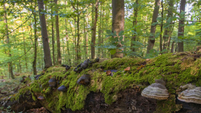
Natural forests are one of our best allies to buffer the impacts of climate change. Yet each day we still lose substantial tracts of these wild forests – not only in the Amazon and south-east Asia, but also in Europe. This vital natural heritage needs better protection; however, for conservation plans to be developed and implemented we first need to get a clearer picture of where primary forests lie, as outlined in the European Commission’s ‘Biodiversity Strategy for 2030’.
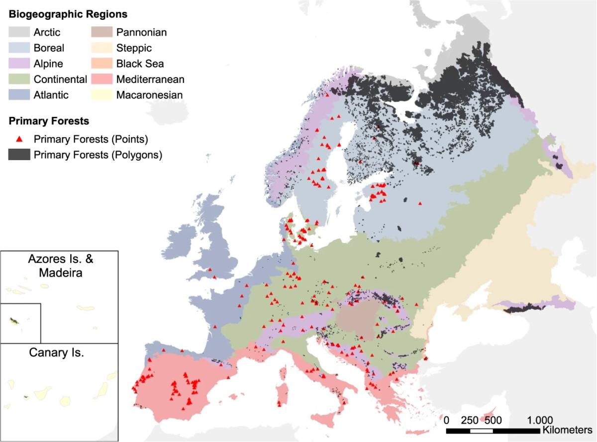
In 2018, a team led by Francesco Sabatini released a first attempt to define and map the last tracts of primary forest in Europe. They identified 1.4 million hectares across 32 countries, mainly in the boreal and alpine zones, and found that these forests where human impact is minimal accounted for less than 1% of Europe’s forested land. Furthermore, large gaps in the protection of these forests were identified. Although 90% of the primary forests mapped had a protected area status, half of them were not effectively protected on the ground. “In general, the remaining primary forests are small and fragmented with an average size of only 24 hectares – this really drives home the urgent need to identify, consolidate, restore and fully protect all those that have survived in Europe,” says Toby Aykroyd, Director of Wild Europe – a partner of the mapping initiative.
The second version of the European Primary Forest Database (EPFD), described in the journal Scientific Data, has now brought together a wide range of institutions and researchers to share previously scattered data. It closes geographical gaps by covering the whole continent and not only EU member states, harmonizing 48 independent datasets which collectively described over 18,000 individual patches of primary forest across 33 European countries. The biggest addition are the forests identified in boreal Russia, which led to a new map with a total of 41 million hectares identified. While this figure should be seen as an upper boundary, as some of the polygons in the map represent large forest landscapes, which also include non-forest land cover, the improvement compared to the 2018 map is substantial. The new database is already being used by the European Commission to inform their primary forest conservation strategies.
The protection of primary forests is crucial – they mitigate the effects of climate change in a myriad of ways. “These forests absorb and retain excess rainwater reducing flood damage, while their cooler forest-floor temperatures buffers the negative effects of increasing temperatures for ground-dwelling organisms; at a larger scale they store large quantities of carbon, both in biomass and soils,” explains Sabatini. “Plus, of course, they harbor forest biodiversity and act as a buffer to species loss in human-dominated landscapes.”
Despite calls for their protection, threats to these forests are huge. Logging for construction and biofuels continue to drive deforestation, with massive losses recorded. In Romania alone, around 370,000 hectares – which is equivalent to roughly 40 average-sized German National Parks – have been logged over the past two decades. Further data will be collected and areas monitored, but now effective conservation is critical.
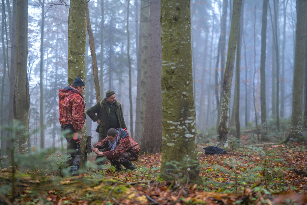
To secure what is left of Europe’s primary forests, FZS works with national partners in key wilderness areas in Germany, Poland, Belarus, Ukraine, Slovakia and Romania. We conserve wilderness through support to existing protected areas, and – where key forests lie beyond the protected area network – we work to expand national parks and establish new ones. In the Carpathians, which harbor the largest intact tracts of primary forest in Europe’s temperate zone, we provide management support as well as scientific and technical advice to protected areas across four countries. While in the Bialowieza Forest, we support restoration efforts to bring back the natural hydrological regime to this iconic forest.
This study was realized and funded by the project “Policy and on-ground action for primary forest protection, boreal and temperate primary forests” funded through the Griffith University (Australia) and implemented by the Frankfurt Zoological Society (FZS) and Wild Europe Initiative as well as the Natural Forest Academy (Germany). Additional funding came from the Marie Sklodowska‐Curie fellowship project FORESTS & CO, #658876. For a complete list of funding sources, including those supporting each individual dataset, please refer to the published version of the paper.


